The term «water body» is a technical term, a unit of assessment or unit of management defined in the European Water Framework Directive (WFD), a regulation of the European Parliament that entered into force on 22 December 2000.
«Water body» is a basic division (a portion, an extension, a volume or a significant and homogeneous part) of a surface or groundwater course, natural or artificial, inland or marine (coastal waters), whether in liquid or solid state (glaciers, etc.).
The incorporation of such a management unit is to categorize (provide an order and classify) a limited number of «water divisions», in order to facilitate their management and to maintain or improve their ecological, chemical and quantitative status (balance between abstractions and needs that guarantees or ensures a good capacity for renewal of the resource).
Prior to the WFD and outside the specialized field of water management, the term «oceanic water body» has been and is used to refer to volumes of seawater, «masses» with temperature and salinity characteristics that are created in surface processes, sink and mix with other water masses moving through ocean basins.
The Water Framework Directive (WFD)
The Water Framework Directive was created with the aim of unifying actions related to water management in the European Union, implementing homogeneous environmental objectives among the Member States and establishing a common framework for action, a «legislative framework that is coherent, effective and transparent».
The first point of the Directive states that «Water is not a commercial good like any other, but a heritage to be protected, defended and treated as such», both in terms of quality and quantity, to ensure its sustainability in circumstances of «increasing pressure due to the continuous growth in demand, of good quality and in sufficient quantities for all uses».
The aim of its implementation was to halt deterioration and achieve «good status» of rivers, lakes and groundwater, protecting water in all its forms (surface, ground, inland and transitional), regenerating ecosystems and reducing pollution.
Classification of water bodies in the WFD
Surface water and groundwater
- Surface water: all non-groundwater inland waters, transitional waters and coastal waters.
- Surface water body: a distinct and significant part of surface water (all or part of a lake, reservoir, stream, river or canal; transitional water or stretch of coastal water).
- Groundwater: all water below the ground surface in the zone of saturation.
- Groundwater body: a clearly differentiated volume of groundwater in an aquifer or aquifers.
Inland, transitional or coastal waters
- Inland waters: bodies of still or flowing surface water and all groundwaters.
- Transitional waters: surface water bodies close to river mouths, partially saline, but with significant influence of freshwater flows.
- Coastal waters: bodies of surface water «lying landward of a line all points of which lie at a distance of one nautical mile offshore from the nearest point on the baseline from which the breadth of the territorial waters is measured and extending, where appropriate, to the outer limit of the transitional waters».
Artificial or heavily modified water bodies
- Natural water body: a body of water that maintains its original hydromorphology and ecological characteristics.
- Heavily modified water body: a surface water body that has undergone a substantial change brought about by human activity.
- Artificial water body: surface water body created by human activity.
Water body, river basin and river basin district
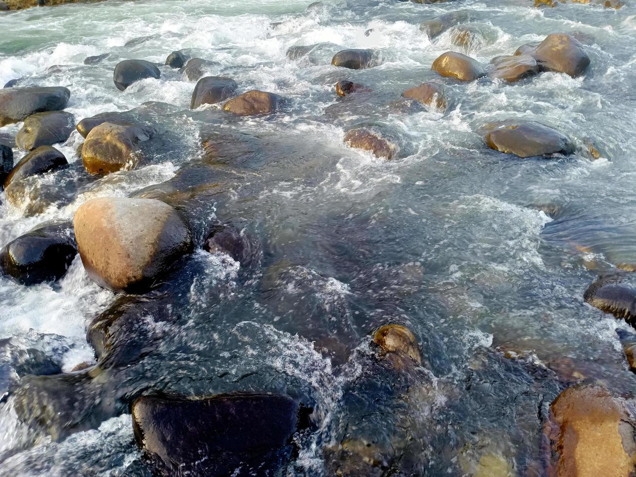
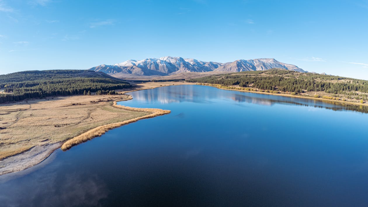
A water body is a basic unit of assessment or management, from a river or part of a river (natural «fresh» water flowing on the surface or underground) or a reservoir (artificial «fresh» water body still on the surface), to a transitional water body (partially saline surface water body near the mouth of rivers) or coastal water body (marine water body).
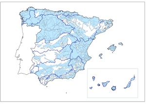
A river basin is, as defined in the European Framework Directive, an «area of land whose surface runoff flows in its entirety through a series of streams, rivers and possibly lakes to the sea via a single mouth, estuary or delta» and is or can therefore also be a series of water bodies of different nature.
The definition of a river basin would not include aquifers as they are neither a surface area, nor necessarily «flow» into the sea, let alone at a single point; however, groundwater is often included in this term as well.
A river basin district is «the marine and terrestrial area consisting of one or more neighboring river basins and the transitional, groundwater and coastal waters associated with those basins».
NEURITE Lab: Prediction and control software for optimal water management
Optimal water management requires precise knowledge that takes into account both physical phenomena and those resulting from human action.
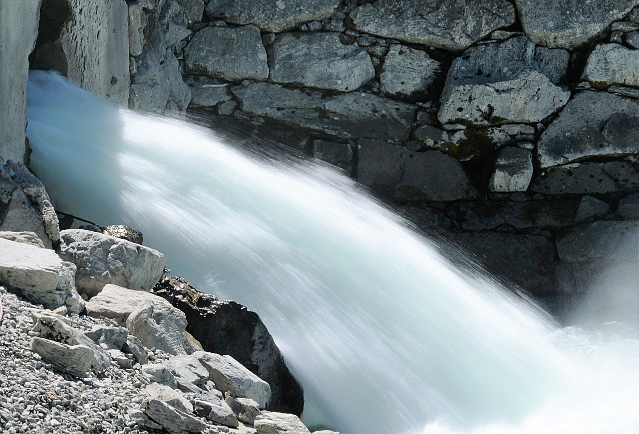
Forecasting what may happen in hours, days or months at each point of the river or aquifer is essential to facilitate optimal management of surface and groundwater bodies, protect their quantity and quality, and ensure more and better sustainability.
Neurite Lab’s forecasting and monitoring software is an innovative and effective tool for both reservoir forecasting and ecological flow monitoring in drought situations, as well as for flood prediction, monitoring and management.
Neurite Lab, specialists with more than 30 years of experience working with hydrographic confederations.
If you need more information or would like to make a consultation: